We use cookies to make your experience better. To comply with the new e-Privacy directive, we need to ask for your consent to set the cookies. Learn more.
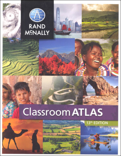
Classroom Atlas
Colorful, appealing, and kid-friendly, the Classroom Atlas from Rand McNally is the next step up from the Junior Classroom Atlas (#007961) with more maps, more detail and more information. The book begins with a section defining map terminology. Next are nine world maps, each with a different emphasis: physical, political, climates, population density, and time zones, to name a few. Following are physical, political, and thematic maps for each continent. Thematic maps might showcase climate, environments, population, economic activities, natural hazards, or transportation. Each continent map section begins with an introduction that provides a historical and geographical overview of the continent, a timeline, and photos of people, places, animals, or landmarks from the continent. Additional maps are provided of the United States, Canada, and Mexico/Middle America. Graphs, charts, and "Did You Know?" fact boxes add visual interest and content. Interesting Top 10 lists (i.e. Largest lakes, longest rivers, most populated countries) are printed in the front and back inside cover. Index included. This is the 13th edition, copyright 2015 and includes North and South Sudan. 208 pgs, pb. ~ Lisa
Give your intermediate student the advantage of working with this best-selling atlas. Clearly organized by continent, Rand McNally's Classroom Atlas is packed with photographs, graphs, critical-thinking questions, brain teasers, and charts that illustrate map concepts. Includes essential how-to information on using an atlas.
| Product Format: | Softcover Book |
|---|---|
| Brand: | Rand McNally & Company |
| Grades: | 4-9 |
| ISBN: | 9780528026591 |
| Length in Inches: | 10.875 |
| Width in Inches: | 8.5 |
| Height in Inches: | 0.375 |
| Weight in Pounds: | 1.25 |

