We use cookies to make your experience better. To comply with the new e-Privacy directive, we need to ask for your consent to set the cookies. Learn more.
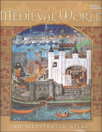
Medieval World: An Illustrated Atlas
SKU
008081
ISBN
9781426205330
Grade 9-AD
Neutral
Non-Consumable
These icons are designed to help you quickly understand and learn important information about our products.
Teaching Method
Traditional
Teacher-centered curriculum commonly used in classrooms that may include a text, teacher manual, tests, etc.
Charlotte Mason
A methodology based on the work of a 19th century educator who maintained that children learn best from literature (Living Books), not textbooks.
Classical
A methodology based on the Latin Trivium (three stages of learning), including the grammar stage (memorization and facts), logic stage (critical thinking), and rhetoric stage (developing/defending ideas).
Unit Study
A thematic or topical approach centered around one topic that integrates multiple subject areas.
Montessori (Discovery)
A methodology based on the work of a 20th century educator that emphasizes student and sensory-driven discovery learning and real-life applications.
Other
Other methodologies
Religious Content
Secular
Contains content contrary to common Christian beliefs (i.e. evolution).
Neutral
Avoids religious or theoretical topics or presents multiple viewpoints without preference.
Christian/Religious
Faith-based or including instructional religious content.
Learning Modality
Auditory
Learns through listening, talking out loud or reading out loud.
Visual
Learns through seeing, prefers written instructions and visual materials.
Kinesthetic/Tactile (Hands-On)
Learns through moving, doing and touching.
Multi-Sensory
Curriculum that employ a variety of activities/components.
Presentation
Sequential
Curriculum progresses through well-defined learning objectives. Emphasizes mastery before moving to the next topic.
Spiral
Topics and concepts are repeated from level to level, adding more depth at each pass and connecting with review.
Conceptual/Topical
Focus is on the “why,” often with a unifying concept as well as specific skills; coverage may be broader.
Teacher Involvement
Low Teacher Involvement
Student-led materials; parent acts as a facilitator.
Medium Teacher Involvement
A mix of teacher-led time and independent student work.
High Teacher Involvement
Teacher-led lessons; may utilize discussions, hands-on activities and working together.
Additional Materials Required
No other materials needed
Everything you need is included.
Other Materials Required
There are additional required resources that are a separate purchase.
Other Materials Optional
There are additional resources mentioned or recommended but are not absolutely necessary.
Consumable
Consumable
Designed to be written in; not reusable.
Non-Consumable
Not designed to be written in; reusable.
Our Price
$40.00 $40.00 $27.75
Rainbow Savings: $12.25
Description
Much more than "just" an atlas, this reference book from National Geographic traces the development of the three civilizations that occupied parallel (sometimes intersecting) but divergent places in the Medieval world (400 1500 AD). The history of each century is gloriously traced in 30 page segments of this majestic, colorful, hardcover book. Rich in lyrical and captivating stories with colorful characters, exciting battles and alluring intrigues, voices of the day speak from words of rare manuscripts, landmark documents, and classic works of literature. Within each century the notable occurrences in European Christendom, Eastern European Byzantium, and Middle Eastern Islam are highlighted along with a timeline showing their relationship to each other. In addition to historical description and analysis, side-bar commentary covers beliefs, arts & letters, personae (biographical sketches), innovation, edifices, and locus (writings/books). There is considerable text surprising in an atlas but there are the expected maps as well. Within each century, there is a "modern" map showing the boundaries of each civilization during that time frame as well as historical maps reflecting the "at-the-time" perspective. There is also a world overview map that gives a summary of what was happening in the other parts of the world during that same century. Interesting, illustrative material abounds: art reproductions, artifact photos (in color), jewelry, photos of modern-day cities or artistic representations of historic ones, portraits, buildings, etc. There is much more here than a casual skimming of the pages provides. This book is used as a textual reference for some history programs, and it's easy to see why. Although not quite in the category of high school world history text (but close), it provides a detailed secular look at three amazing religion-based civilizations, two of which directly impact later centuries. 384 pgs, hc ~ Janice
Publisher's Description of Medieval World: An Illustrated Atlas
Sumptuously illustrating the vivid parade of a thousand years of history, this comprehensive historical atlas concentrates on the Mediterranean world but also shows what happened across the globe between A.D. 400 and 1500 from the fall of Rome to the age of discovery. Every page glistens with period works of art, fascinating maps, quotes from medieval figures, close-ups of intriguing artifacts, and rich landscape photographs of the places where battles were fought and monarchs were crowned. For every century, a signature city is spotlighted to represent that era's developments. Time lines connect the many dramatic events that took place in these dark and exciting times, which continue to shape our world today. Written by a team of veteran National Geographic writers, this richly illustrated reference includes full index, reading list, and glossary.
Category Description for Beautiful Feet Senior High Curriculum (9-12)
Using quality classical or award-winning literature, students learn history with a focus on gaining understanding, perspective, and critical thinking skills. Learning to analyze, think independently, choose and defend opinions with evidence, and empathy are the goals of this study.
Details
| Product Format: | Hardcover |
|---|---|
| Grades: | 9-AD |
| Brand: | National Geographic |
| ISBN: | 9781426205330 |
| Length in Inches: | 11.5 |
| Width in Inches: | 9.5 |
| Height in Inches: | 1 |
| Weight in Pounds: | 3.55 |
Videos
Reviews
1 Rating
1 Review
Have a question? Ask owners.
Start typing and see existing answers.
Why did you choose this?
Part of curriculum that I purchased elsewhere
Recommended
It is part of the Beautiful Feet package for high school level Medieval. It looks like a very inviting book that will captivate my son.