We use cookies to make your experience better. To comply with the new e-Privacy directive, we need to ask for your consent to set the cookies. Learn more.
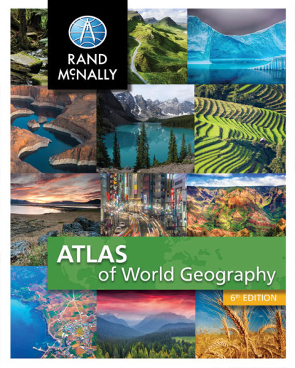
Atlas of World Geography
This atlas from Rand McNally bridges the gap between simpler atlases geared to younger students and adult reference-only atlases. Like its adult cousins, this atlas is packed full of colorful maps and handy reference material; however, it also includes some student-friendly features such as charts/graphs, and narrative text. The atlas begins with an overview of map terminology. Next are sections on the earth/solar system, plate tectonics, climate, and other topics pertaining to physical geography. A twelve-page countries and flags of the world section presents basic information about 199 countries. Seven world maps are included: political, physical, climate, economic, population density, environments, and time zones. Detailed political and physical maps are provided for each of the seven continents and the U.S., plus thematic maps and select regional/country maps. Some examples of the continent thematic maps include: climate, population, environments/land use, or special topics specific to the continent (i.e. destruction of the rain forest in South America). Glossary and index included. 176 pgs, pb. Revisd in 2017. ~ Lisa
Rand McNally's Atlas of World Geography provides engaging and richly illustrated geographic information for secondary students from grades 6-12.
Thematic maps, graphs and charts help present a more complete portrait of our physical and political world.
| Product Format: | Softcover Book |
|---|---|
| Brand: | Rand McNally & Company |
| Grades: | 6-12 |
| ISBN: | 9780528017896 |
| Length in Inches: | 10.875 |
| Width in Inches: | 8.5 |
| Height in Inches: | 0.375 |
| Weight in Pounds: | 1.1 |

