Drawing Around the World: USA (Geography Drawing Series)
SKU
061281
ISBN
9781642810110
Grade 4-12
Neutral
Consumable
These icons are designed to help you quickly understand and learn important information about our products.
Teaching Method
Traditional
Teacher-centered curriculum commonly used in classrooms that may include a text, teacher manual, tests, etc.
Charlotte Mason
A methodology based on the work of a 19th century educator who maintained that children learn best from literature (Living Books), not textbooks.
Classical
A methodology based on the Latin Trivium (three stages of learning), including the grammar stage (memorization and facts), logic stage (critical thinking), and rhetoric stage (developing/defending ideas).
Unit Study
A thematic or topical approach centered around one topic that integrates multiple subject areas.
Montessori (Discovery)
A methodology based on the work of a 20th century educator that emphasizes student and sensory-driven discovery learning and real-life applications.
Other
Other methodologies
Religious Content
Secular
Contains content contrary to common Christian beliefs (i.e. evolution).
Neutral
Avoids religious or theoretical topics or presents multiple viewpoints without preference.
Christian/Religious
Faith-based or including instructional religious content.
Learning Modality
Auditory
Learns through listening, talking out loud or reading out loud.
Visual
Learns through seeing, prefers written instructions and visual materials.
Kinesthetic/Tactile (Hands-On)
Learns through moving, doing and touching.
Multi-Sensory
Curriculum that employ a variety of activities/components.
Presentation
Sequential
Curriculum progresses through well-defined learning objectives. Emphasizes mastery before moving to the next topic.
Spiral
Topics and concepts are repeated from level to level, adding more depth at each pass and connecting with review.
Conceptual/Topical
Focus is on the “why,” often with a unifying concept as well as specific skills; coverage may be broader.
Teacher Involvement
Low Teacher Involvement
Student-led materials; parent acts as a facilitator.
Medium Teacher Involvement
A mix of teacher-led time and independent student work.
High Teacher Involvement
Teacher-led lessons; may utilize discussions, hands-on activities and working together.
Additional Materials Required
No other materials needed
Everything you need is included.
Other Materials Required
There are additional required resources that are a separate purchase.
Other Materials Optional
There are additional resources mentioned or recommended but are not absolutely necessary.
Publisher's Description of Drawing Around the World: USA (Geography Drawing Series)
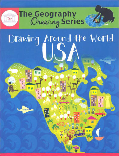
Drawing Around the World: USA outlines a simple, fast, and easy program to teach students to memorize the United States of America.
With Drawing Around the World: USA, students, in only minutes per day, engage in fun geography lessons that teach them to draw the 50 states plus Washington D. C. Additionally, students learn the state capitals and interesting facts about each state as they complete the state fact table.
Add Drawing Around the World: USA to your school day and teach your student to memorize and draw the United States, the state capitals, and the state abbreviations.
A common complaint against young people here in the US is that they don't know their place in the world. Now, this may be true, but what I really mean is that they can barely pick their own country or state from a blank map - let alone a country somewhere else in the world. This series is an easily accessible solution to the very problem faced by students everywhere today! The premise is simple: repeated tracing and copying of each country or US state will help students become familiar with its outline. Then, each week, students draw the cumulative pool of outlines learned (free-hand, from memory) - resulting in an ever increasingly completed continent map with political boundaries (or US map with showing states). Along the way, students will be researching and recording basic country or state facts. Books are organized into detailed schedules by day (Europe within a 24-week schedule and the USA within 27). Methods, objectives, and additional memorization techniques are included in each book. These books are consumable, but permission is given to reproduce pages for use within a single family. 233 pp, sc. ~ Zach