My Cart
0
You have no items in your shopping cart.
Using a world atlas can be overwhelming to young learners. DK/Smithsonian has taken the intimidation factor out of the equation with this lovely atlas intended just for children. This 128-page atlas is full of fun, colorful pictures on every page. Travel through North America, South America, Africa, Europe, Asia, Australasia and the Polar Regions with maps labeled for major cities, flags, places of interest, agriculture, and more. Information is presented in small paragraphs to be more reader-friendly. Every continent begins with an overview and is then broken down by country. Learn about the climate, culture, and geography of each place. Children will be able to travel the world without ever leaving home! ~ Donna
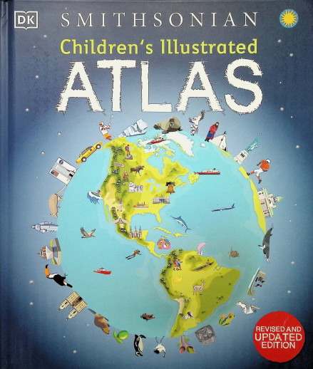
Set off on a thrilling journey around the world in this incredible atlas for kids – packed full of beautiful illustrations and photographs.
Discover the world map-by-map with this exciting world atlas book for children, featuring more than 50 maps! Each page is filled with fascinating information, facts and colorful illustrations of our world.
Children aged 7-9 will love to learn all about the many countries, cultures, people and animals of the world through vibrant maps. Each map is bursting with information, combining colorful icons with photographs representing key points about each country. The atlas also includes a world map poster, with a political map for each continent – and children are shown how to read a map and use a key, compass, and scale!
Inside the pages of this atlas book for children, you’ll find:
– Information that supports the curriculum, with colorful icons and photographs that show people and places, animals, food, historical sites, industry, and habitats.
– More than 50 specially commissioned maps of the world featuring countries and continents in full-color detail.
– Bite-sized facts and figures about each country making it easy for children to understand.
– Diagrams that compare climates, population, mountains and rivers, famous sites, and natural wonders of the world.
Children’s Illustrated Atlas brings the world to life with vivid maps and fascinating facts about the countries of the world, making it the perfect gift for little geographers. This charming and informative book is a key addition to every child’s library.
Chosen b/c it's part of Torchlight Level K
I am hoping this book will spark interest in geography for my children.
Looks like a great resource. I bought the Junior Classroom Atlas but need something with a little more substance to go along with it.
Hoping it will be a good resource for geography