The store will not work correctly in the case when cookies are disabled.
Your company account is blocked and you cannot place orders. If you have questions, please contact your company administrator.
We use cookies to make your experience better.To comply with the new e-Privacy directive, we need to ask for your consent to set the cookies.Learn more.
These inexpensive outline maps measure 8.5" x 11" and are available in paper or laminate. The outlines are in black and white, with borders of interior boundaries shown as dotted lines. Latitude and longitude lines are included, as is a scale with miles and kilometers to show distance on the map. The paper versions are made with fairly thin paper, but are perfect for coloring and labeling. The laminated versions are obviously more durable and can be written on with dry-erase markers. The maps are one-sided with the other side simply being blank. These are great tools for geography lessons.
Have a question? Ask owners.Have a question about this? Ask people who own it.
Start typing and see existing answers.
Instant Answers
Start typing and we'll see if it was already asked and answered.
If there aren't already some matches, submit a new question.
You'll get fast answers from customers who really own the item(s) and from our product experts. (About half the time you'll get an answer in under 2 hours!)
Good Topics To Ask About
Which items will best meet your needs
What customers who own an item think of it
How to use, fix, or take care of an item
Product information
General advice related to the types of products we sell
Our store policies
Customer Support
For questions about an order you have placed, please contact customer support directly.
2 Questions
Why did you choose this?
Rainbow Resource CenterStore
Laminated maps can be easily cleaned and reused for children to practice labeling countries and other geographical features.
Robert S
Is part of South America’s coastline really missing or is that just the picture on the site? The paper version looks right.
Rebecca J
I checked with the warehouse and, yes, the laminated map is the same as the paper one and DOES include the eastern coast of South America. I apologize for the inaccurate graphic.
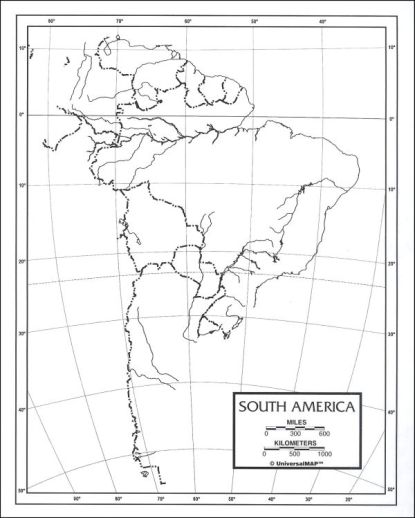
Laminated maps can be easily cleaned and reused for children to practice labeling countries and other geographical features.