We use cookies to make your experience better. To comply with the new e-Privacy directive, we need to ask for your consent to set the cookies. Learn more.
Michigan Map Paper single (8+" x 11")
SKU
037329
Grade PK-AD
Our Price
$0.40 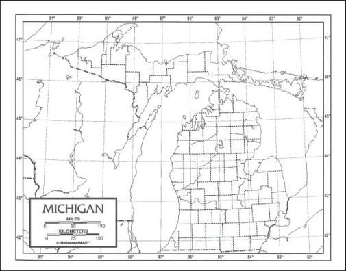
Description
Category Description for Outline Maps - Laminated and Paper
These inexpensive outline maps measure 8.5" x 11" and are available in paper or laminate. The outlines are in black and white, with borders of interior boundaries shown as dotted lines. Latitude and longitude lines are included, as is a scale with miles and kilometers to show distance on the map. The paper versions are made with fairly thin paper, but are perfect for coloring and labeling. The laminated versions are obviously more durable and can be written on with dry-erase markers. The maps are one-sided with the other side simply being blank. These are great tools for geography lessons.
I thought this would be fun to use when we do our Michigan history unit study this year!
I got the paper maps for the kids to write on & a laminated one to hand on the wall of our new home. So we can all learn about our new state.
It is difficult to find blank state maps to print.