We use cookies to make your experience better. To comply with the new e-Privacy directive, we need to ask for your consent to set the cookies. Learn more.
Uncle Josh's Outline Map Collection - Digital Download
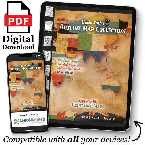
The digital version of Uncle Josh’s Maps provides an abundance of maps to be utilized for any historical era for geography purposes. This digital download includes more than 260 reproducible maps. Use these maps over and over again with children and grandchildren to come. PDF downloads are available on any device that has Acrobat Reader capabilities. ~Rebecca
Outline maps are a foundational part of teaching geography and history. Here are hundreds of maps to use year after year, regardless of topic or time studied. From drawing explorer's routes to tracking hurricanes to depicting the rise and fall of empires, it's here! Includes continents, ancient historical regions, important war arenas, each of the fifty states, and more! Rivers are lightly shaded and surrounding borders are visible. You've got the whole world covered! Reproducible pages.
This collection digital download version has more than 260 reproducible maps, including shaded relief maps of the world and each continent, and also maps of each U.S. state and the Canadian provinces and territories. Used as a companion resource for Trail Guide to World Geography and Trail Guide to U.S. Geography.
PDF files, requires Acrobat Reader.
From that mogul of maps, Josh Wiggers (of Geography Matters), comes this valuable resource with over 130 reproducible maps. Need a map for Hannibal's travels, hurricane tracking, or habitat studies? It's here! No more searching for that elusive map of ancient Greece! Includes maps of each of the fifty states, continents, ancient historical regions, and more. 136 pgs, pb. All of the outline maps from the book are also available in CD-ROM format with a few extras: Canadian Provinces and Territories, Ancient Civilizations, Mongols, Thirteen Colonies, 10/40 Window, and state maps with USA inserts. The following shaded relief outline maps are also included: Africa, Asia, Australia and New Zealand, Europe, North and South America, World, Pakistan and Afghanistan. In all, there are over 260 printable maps. Windows requirements: Windows 95 or later; Mac requirements: OS 9 or later; Acrobat 5.0 or above (included); and an inkjet or laser printed (recommended).

