My Cart
0
You have no items in your shopping cart.
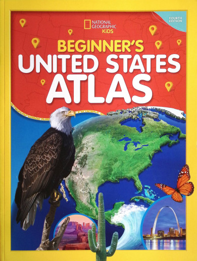
Fully revised and updated in 2023, this atlas of the United States produced by National Geographic, provides children with easy-to-read maps and full-color photographs that help make the people, places, and natural wonders of the fifty states come alive. This quality publication includes fifty state maps that correspond to the political map of the U.S., regional maps that highlight each state's location, details regarding U.S. territories, numerous interesting facts about each state, and more than 200 vibrant images. Filled with simply excellent reference material, this atlas will benefit any student just beginning to explore the history or geography of the United States. 128 pgs, pb. ~ Mike
Learning about America is an exciting adventure with the updated fourth edition of this atlas specially created for children by the map experts at National Geographic.
It’s a big country, and the cartographic experts at National Geographic want youngsters to have the engaging tools they need to explore and understand it. This fully revised and updated United States atlas features large, vibrant maps custom designed for children, along with bright, bold photographs and lively text that bring the nation’s people, places, and natural wonders to life.
Featuring: Empowering instructions for how to read and understand maps; colorful physical and political United States maps; 50 state maps designed to make it easy to find towns, cities, and physical features such as mountains, rivers, and lakes; Lively essays highlighting each state’s unique character and strengths; regional maps that provide a broad context for each state’s location; a feature on United States territories; more than 200 colorful photographs; United States facts at a glance, such as the largest cities, the highest mountain, and the largest states by area And more!
Needed Supplemental resource for State History
Curriculum
Working with my child over the summer