We use cookies to make your experience better. To comply with the new e-Privacy directive, we need to ask for your consent to set the cookies. Learn more.
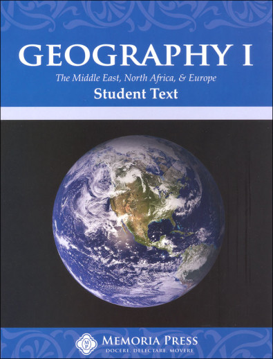
Geography 1 Text (Middle East, Europe, & North Africa)
Memoria Press Geography may be no-frills, but it's a high-quality geography program. The maps are detailed enough for high school students yet also simple enough for elementary kids (an impressive feat). The books are black & white with plenty of fill-in-the-blank exercises to test kids' knowledge. Comb binding. This program is not religious. ~Sara
GEOG 1 and 2 are typically used in upper elementary/middle school. GEOG 3 is typically used in high school.
GEOGRAPHY I covers the Middle East, North Africa, the Mediterranean, Central Europe, the U.K., Scandinavia, and Eastern Europe.
- The Student Text highlights “recorded history, including the Bible,” with brief discussions of the religions that influence this region.
- The Student Workbook shows outline maps, plus lists of countries to write on the maps. Section 2 has matching lists of countries/capitals for the regions listed. Section 3 shows maps at the bottom with capitals listed at the top, and students write in the corresponding countries. Section 4 is similar, but students write both the capitals and countries in the blanks. In the back, students are given a list of all 54 countries in alphabetical order and asked to list the capitals of each. 43pp.
- The Teacher Guide includes a set of the same blank student pages as section 1 (now labeled as quizzes) listed above, plus answer keys to the maps and lists. The Tests are the same as in section 3 listed above. 5 units and 29 lessons. 83pp.
- Flashcards are used with Geography I, II, and III. These are optional, but they do add a fun hands-on element for your students.
- Geography I Review is a condensed course that can be added to Geography II for a complete world geography option. Answer Key sold separately.
- United States Review is a condensed course that can be added as well. Answer Key sold separately.
GEOGRAPHY II covers Sub-Saharan Africa, Asia, Oceania, and the Americas.
- In the Student Text, each broad unit is introduced with information about the terrain, climate, people, and language. The lessons then go into detail about narrower areas, such as the Horn of Africa and the Zambezi River region of sub-Saharan Africa. A large map shows students where oceans and rivers are located as well as political boundaries. Important features/events are highlighted, like Victoria Falls near the Zambia/Zimbabwe border and the Rwandan genocide. Facts are shown in a table format and the narratives are understandable for students.
- The Student Workbook includes activities like labeling maps and writing out the countries and capitals of each. Some pages have word banks (lists) for students to use, while others don’t rely on any clues. Students have to remember some facts about each of the main regions and countries within. 103 pp.
- The Teacher Guide includes answers to all the map activities in the Student Workbook as well as blank test forms and answers. Tests closely follow the format of the workbook exercises, with plenty of fill-in-the-blanks and labeling.
- Flashcards are used with Geography I, II, and III. These are optional, but they do add a fun hands-on element for your students.
GEOGRAPHY III is a comprehensive world history course for high school students.
- The Student Text includes 9 units covering all content from GEOG I & 2.
- The Student Workbook has maps to label as well as assignments to draw each continent freehand. 121pp.
- The Teacher Guide includes all answers, reproducible maps, unit tests, and test answers.
- Flashcards are used with Geography I, II, and III. These are optional, but they do add a fun hands-on element for your students.
| Product Format: | Softcover Book |
|---|---|
| Grades: | 4-6 |
| Brand: | Memoria Press |
| Author: | Bret Vaden |
| ISBN: | 9781615381241 |
| Length in Inches: | 11 |
| Width in Inches: | 8.5 |
| Height in Inches: | 0.25 |
| Weight in Pounds: | 0.7 |
Be the first to review this item
This is a straightforward Geography curriculum. The Geography book III has more to do with Social Studies. I don't know of a good world cultures book offhand. I use this with whatever History text I am using that year.
There is no age level given, but a 3rd grader can easily start on it. Simple text and maps.
I am doing it with my 4th grader and she finds it interesting as it starts with the Middle East and the first country is Israel.
I don't think it will take an year. There are 45 country information and a map markings for each country. So it depends how long you will take to do one country. If you have a child good at remembering then it will be easy to mark maps and go on. But again it is simply put . We read the text, I take copies of the map and she marks then next week I give the map again to mark to see if she remembers. In the meanwhile I start the next country. It is very interesting for them if you can combine a little knowledge about the present happenings in the particular country. But very very good book. Gives a lot of knowledge . I am glad I purchased it.


inexpensive
We enjoyed the States and Capitals with Memoria Press and I an excited to walk through Geography I with my students this year! Especially because we live in the part of the world that it teaches about…
Recommended by my Charter school for a geography curriculum.
These areas are not often studied in detail in standard geography for this age range.