We use cookies to make your experience better. To comply with the new e-Privacy directive, we need to ask for your consent to set the cookies. Learn more.
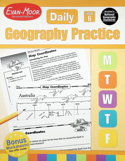
Daily Geography Practice Gr. 6
This Grade Level Teacher Book is reproducible and includes an answer key plus printed maps.
6th Grade Daily Geography Practice Worksheets cover: Map elements, parallels and meridians, four hemispheres, map grid and index, map coordinates, Robinson projection map, Mercator projection amp, polar projection: Arctic region, picturing North America, picturing the world, road map: Wyoming, Chicago O'Hare International Airport, physical map: North America, physical map: South America, physical map: Australia, mountain ranges of the world, deserts of the world, rivers of the world, regions of the US, West Indies, region of Central America, Middle East region, national symbol: Washington, DC, national parks of Utah, climate zones of the US, Sahara Desert, world's ten most populous countries, cultural map: national basketball association, leading rice-producing countries, boroughs of New York City, time zones of the US, land use map: North-Central region, tourist map: Missouri, resource map: Mexico's Minerals, history map: Ancient Greece, and a city plan.
Daily Geography Practice is aligned to National Geography Standards and the six essential elements of geography:
- The world in spatial terms
- Places and regions
- Physical systems
- Human systems
- Environment and society
- Uses of geography
How it works
Monday–Friday: There are two geography questions for each day of the week, and the questions progress in difficulty from Monday to Friday. Each week includes a challenge question at the end of the unit.
Grade 6 Daily Geography includes 36 weekly units, and each weekly unit includes:
- A teacher page with unit overview and answer key.
- A Vocabulary list to highlight key geography terms.
- A map page that emphasizes the geography skills for the week.
- Question pages with two geography questions for each day of the week, plus a weekly challenge question.
Bonus! A 10-page reproducible geography glossary is included for students to use as an easy reference booklet throughout the year.
The geography skills presented at grade 6 include:
- globes
- compass roses
- map legends
- map grids and coordinates
- map scales
- physical country and continent maps
- projections
- regional maps
- road and tourist maps
- historical and cultural landmark maps
- population and product maps
- climate and time zone maps
- land use, product, and resource maps
- political country and world maps
A supplemental skills program, these practice books are packed with activities. Intended to be taught by direct instruction rather than independently, most activities will require a map or globe to complete. The good news is that these are included right in the book. No, not an actual fold-out map or spinning globe, but printed maps of the section of the globe or map that go with that activity.
The books are divided into a 36-week layout, and there is a map to go along with each week. The Grade Level Teacher Books provide the weekly lessons which include a teacher resource page (answer key, background information, vocabulary words, and definitions) plus the reproducible Student Worksheets (map, two geography questions for each day, and a challenge question for the end of each week). Each book covers some similar items (at the appropriate age level, of course) as well as some different geographic items or regions. The Student Practice Books are non-reproducible and do not include an answer key. They are used if you do not wish to copy the student worksheet pages from the Teacher Book. Teacher Books are 160 pgs, pb, and include access to download the 36 maps. ~ Zach
Product Format: | Softcover Book |
---|---|
Brand: | Evan-Moor |
Grade: | 6 |
ISBN: | 9781557999757 |
Length in Inches: | 11 |
Width in Inches: | 8.5 |
Height in Inches: | 0.5 |
Weight in Pounds: | 1 |