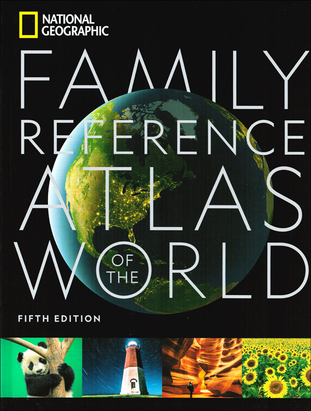
National Geographic Family Reference Atlas (5th Edition)

SKU
030162
ISBN
9781426221446
Grade PK-AD
Secular
Non-Consumable
Teaching Method
Traditional
Teacher-centered curriculum commonly used in classrooms that may include a text, teacher manual, tests, etc.
Charlotte Mason
A methodology based on the work of a 19th century educator who maintained that children learn best from literature (Living Books), not textbooks.
Classical
A methodology based on the Latin Trivium (three stages of learning), including the grammar stage (memorization and facts), logic stage (critical thinking), and rhetoric stage (developing/defending ideas).
Unit Study
A thematic or topical approach centered around one topic that integrates multiple subject areas.
Montessori (Discovery)
A methodology based on the work of a 20th century educator that emphasizes student and sensory-driven discovery learning and real-life applications.
Other
Other methodologies
Religious Content
Secular
Contains content contrary to common Christian beliefs (i.e. evolution).
Neutral
Avoids religious or theoretical topics or presents multiple viewpoints without preference.
Christian/Religious
Faith-based or including instructional religious content.
Learning Modality
Auditory
Learns through listening, talking out loud or reading out loud.
Visual
Learns through seeing, prefers written instructions and visual materials.
Kinesthetic/Tactile (Hands-On)
Learns through moving, doing and touching.
Multi-Sensory
Curriculum that employ a variety of activities/components.
Presentation
Sequential
Curriculum progresses through well-defined learning objectives. Emphasizes mastery before moving to the next topic.
Spiral
Topics and concepts are repeated from level to level, adding more depth at each pass and connecting with review.
Conceptual/Topical
Focus is on the “why,” often with a unifying concept as well as specific skills; coverage may be broader.
Teacher Involvement
Low Teacher Involvement
Student-led materials; parent acts as a facilitator.
Medium Teacher Involvement
A mix of teacher-led time and independent student work.
High Teacher Involvement
Teacher-led lessons; may utilize discussions, hands-on activities and working together.
Additional Materials Required
No other materials needed
Everything you need is included.
Other Materials Required
There are additional required resources that are a separate purchase.
Other Materials Optional
There are additional resources mentioned or recommended but are not absolutely necessary.
Consumable
Consumable
Designed to be written in; not reusable.
Non-Consumable
Not designed to be written in; reusable.
Our Price
$75.00 $75.00 $50.95
Rainbow Savings: $24.05
Bargain Version Available
Discover
Description
Did I hear someone say comprehensive? That's a fitting word for this 399-page atlas by the National Geographic Society. Since I'm going to need a lot of space to tell you all about this one, I'm going to get started right away. We'll begin with the usual couple of pages on different types of maps and map symbols, though if you've ever picked an atlas up before, you'll find this one to be as logical and straight-forward as any other. After map fundamentals, a planet overview covers the earth's structure and landscape, freshwater and oceans, climate and weather, and climate change. This section has maps of the physical and political world and the north/south poles. This whole section gives an amazing overview of the physical world as a whole – before launching us into the next sections which look at wildlife, the human journey, and an in-depth look at each of the seven continents in detail. The Wildlife and Wild Places section provides an overview of our biosphere and biodiversity, nature safe havens, and environmental stresses or threats to our planet. The Human Journey dives into the human impact on our planet, population, urbanization, migration and refuges, languages, religion, quality of life topics such as education, literacy, and happiness scores, health, agriculture and diet, borders, economy and trade, energy, and the digital world. Moving into each continent, full color maps throughout show towns and cities, roadways, rivers, lakes, mountains, and the like. There are also little fact boxes containing information like area, population, religion, flag, and more for each country or state shown. Each continent is introduced with some incredible photography and clear text including brief details of the continent's physical geography, history, culture, and economy. The atlas concludes with sections on the oceans and space, and an appendix which I'll outline for you a little later. What exactly do these last two sections contain? An oceans section includes world oceanography; limits of the oceans and seas; floor maps of the Atlantic, Pacific, Indian, and Arctic Oceans. The space section introduces you to some things you may not have come across before. There are maps of both sides of the moon, maps of the inner and outer solar system, maps of the western and eastern hemisphere of Mars, a 3D structure showing the universe, a detailed look at the Milky Way galaxy and a cosmic timeline covering numerous space missions. Then comes the appendix which is loaded with good material, including abbreviations, metric conversions, geographic and geopolitical comparisons, flag key and facts, foreign terms, world time zones, glossary of geographic terms, and a 110-page index (which includes an index of Moon locations). This atlas will serve you well in more ways than you probably ever thought you would need. The large, 10.5" x 14" format and quality hardcover binding will stand the test of time and help keep this atlas looking attractive for years to come. ~ Zach/Deanne
Publisher's Description of National Geographic Family Reference Atlas (5th Edition)
This exquisitely updated edition of National Geographic’s popular and reader-friendly Family Reference Atlas features authoritative maps, detailed artwork, and explanatory graphics–an indispensable source of information for inquiring minds, young and old. In these richly illustrated pages, every country in the world is represented by a detailed map within its geographical context and also its flag, key statistics, and secondary maps with environmental and population information. Special sections feature maps and facts about the ocean, the solar system, and the universe beyond. Newsworthy topics from climate change and human migration to languages and digital connectivity are explained in maps, graphics, and photos. Fully indexed, and written to engage all ages, this indispensable atlas belongs in every family library.
Details
More Information
Product Format:Hardcover
Brand:National Geographic
Author:National Geographic Staff
Grades:PK-AD
ISBN:9781426221446
Length in Inches:13.75
Width in Inches:10.625
Height in Inches:1.125
Weight in Pounds:5.35
Videos
This product doesn't have a video
Reviews
Product Q&A